
Address
Studio 03
SUM Studios
1 Hartley Street
Sheffield
S2 3AQ
[email protected]
0114 399 1023
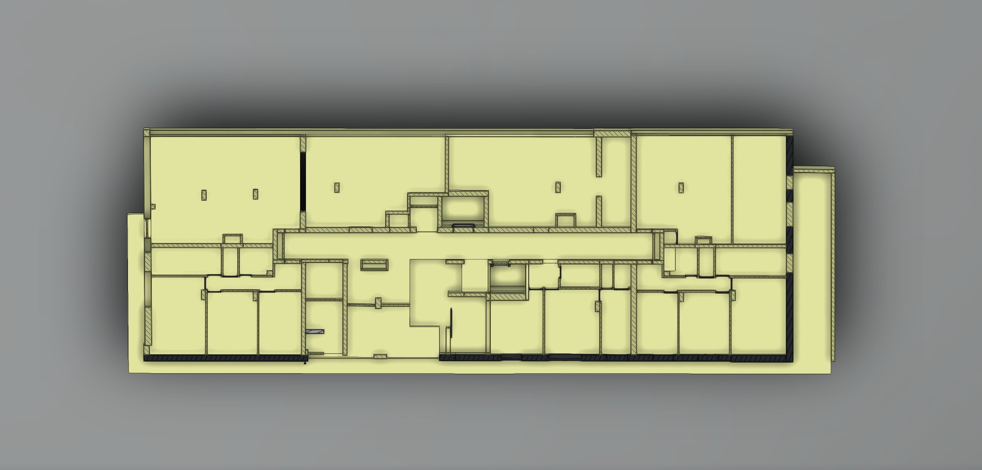
When comparing laser scanning companies, it is easy to assume that every provider delivers the same results if they use the same equipment. You may even see multiple quotes mentioning premium scanners such as Leica and conclude that the difference comes down to price.
The reality is very different.
Laser scanning quality depends on far more than the hardware. Even the most advanced scanner cannot compensate for poor planning, incomplete coverage, weak registration, or inadequate quality assurance. The accuracy of your final point cloud, CAD drawings, or BIM model is determined by the entire survey process, not simply by the brand of scanner used on-site.
If you are investing in a measured building survey, understanding what happens behind the scenes can help you choose a supplier that delivers reliable data instead of expensive rework.
Modern terrestrial laser scanners are incredibly capable. They can capture millions of measurements every second with exceptional precision.
However, the scanner is simply a data collection tool.
The quality of the final deliverables depends on how experienced surveyors use that tool. Every decision made before, during, and after the survey directly affects the final output.
Professional survey teams consider:
Without this workflow, even high-end equipment can produce incomplete or unreliable results.
Successful projects begin long before the scanner is switched on.
Experienced surveyors plan the entire survey around the building, the required deliverables, and any site constraints. They identify areas that require greater detail, determine safe access routes, and ensure every space can be captured efficiently.
Proper planning also helps reduce disruption on occupied sites while ensuring enough data is collected for accurate modelling later.
Poor planning often leads to missing information that only becomes apparent once the team has left the site. Returning to capture missing areas increases project costs and delays delivery.
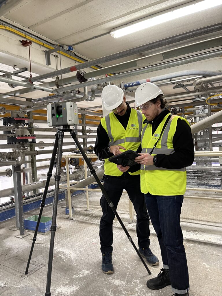
Laser scanners only capture surfaces they can physically see.
Walls, columns, furniture, machinery, staircases, and structural elements all create blind spots if scan positions are not carefully planned.
Experienced surveyors understand how to minimise these occlusions by placing scanners strategically throughout the building. They also know when additional scans are necessary to capture complex geometry or hidden areas.
Comprehensive coverage produces a higher-quality point cloud survey that provides complete and reliable information for architects, engineers, and contractors.
A laser scanning project rarely consists of a single scan.
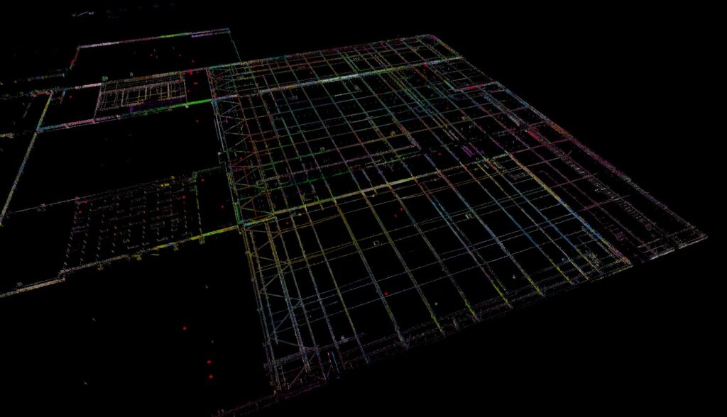
Most surveys involve dozens, hundreds, or even thousands of scan positions that must be accurately aligned into one complete dataset. This process is known as point cloud registration.
Registration is one of the most important stages of the workflow.
If scans are poorly aligned, small errors accumulate throughout the project. Walls may no longer be straight, floors may appear uneven, and measurements may become unreliable.
Professional teams perform rigorous registration checks to verify that every scan aligns within acceptable tolerances before any deliverables are produced.
This is a major contributor to overall 3D laser scanning accuracy, yet it is rarely discussed when comparing quotes.
Capturing data is only the beginning.
Once the survey is complete, the point cloud undergoes extensive processing before it is suitable for CAD or BIM workflows.
Quality assurance may include:
Strong laser scanning QA procedures ensure the final dataset is reliable before any modelling work begins.
Skipping these checks can introduce errors that remain hidden until construction or design work is already underway.
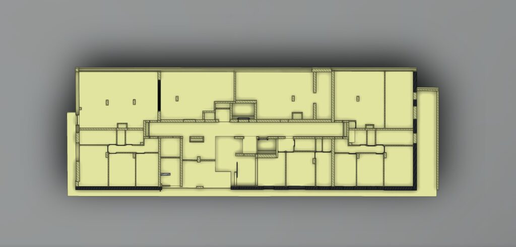
Many people assume that converting a point cloud into drawings or a Revit model is an automated process.
It is not.
Experienced technicians interpret the captured data to distinguish structural elements from temporary objects, correctly identify building features, and model complex geometry at the required level of detail.
This interpretation requires technical judgement that software alone cannot provide.
The quality of your measured building survey ultimately depends on both the quality of the captured data and the expertise of the professionals producing the final deliverables.
Rather than focusing only on the scanner being used, ask potential suppliers about their survey process.
Good questions include:
The answers will tell you far more about the quality of the final deliverables than the equipment list alone.
At Scene3D, we believe outstanding results come from combining industry-leading laser scanning technology with experienced surveyors, rigorous quality assurance, and meticulous modelling workflows.
Every project is carefully planned, every point cloud is thoroughly checked, and every deliverable is produced with the accuracy your project depends on.
Whether you need a point cloud, CAD drawings, or a Revit model, we focus on delivering data you can trust from the first survey through to the final handover.
If you’re comparing laser scanning companies, ask us about the quality assurance and registration checks that sit behind every deliverable we produce. We’ll happily explain our process and show you why quality depends on much more than the scanner itself. Contact our team to discuss your project.