
Address
Studio 03
SUM Studios
1 Hartley Street
Sheffield
S2 3AQ
[email protected]
0114 399 1023
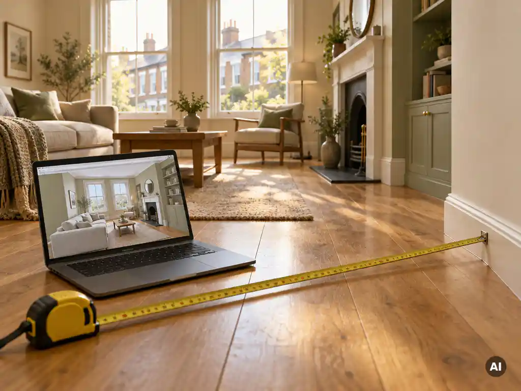
Yes, buyers can measure rooms during many virtual property tours, but only when the tour is captured with 3D scanning equipment and the platform has a measuring tool switched on. These measurements are good for quick, practical checks such as whether a sofa will fit. They are not a substitute for a professional measured survey.
Not every virtual tour supports measuring, and the result depends on how the space was captured. The sections below explain how the tools work, how reliable they are and where their limits lie.
Measuring tools in 3D virtual tours let a viewer click two points inside the tour, such as opposite walls, and display the distance between them. The tool calculates this from the depth data captured by a 3D camera or scanner when the property was originally scanned.
This is what separates a measurable tour from a simple 360° photo tour. A 360° image is only a flat picture wrapped around the viewer, so it holds no reliable depth information. A 3D scan builds a spatial model of the property, and that model is what the measuring tool reads.
Most platforms with this feature work in a similar way:
Measuring tools are often enabled or disabled by whoever publishes the tour. A buyer who cannot find the feature may simply be looking at a tour where it has been turned off.
Room measurements from a virtual tour are generally accurate enough for everyday planning but not precise enough for formal or contractual use. Accuracy depends on the scanning equipment, the quality of the capture and how carefully the viewer places each measurement point.
Several factors affect how reliable a reading will be:
Treat any figure as an estimate rather than a guaranteed dimension. Accuracy also differs between a tour measurement, a drawing and a laser scan, and those three should never be treated as interchangeable. If a decision depends on a few centimetres, verify the measurement in person.
A tour measurement is a distance you take yourself between two points you choose, while a floor plan is a pre-drawn, two-dimensional layout showing the room dimensions and structure. Tour measurements are flexible and on demand. A floor plan is a fixed document produced for the whole property.
The two serve different purposes. A floor plan gives a buyer a quick overview of layout, room sizes and how spaces connect. A tour measurement lets a buyer check a specific gap, such as the width of an alcove or the space between a radiator and a doorway.
Floor plans can also be generated from 3D scans, which is why many scanned tours come with an accompanying plan. Even so, a plan produced from a scan is a marketing document. It is not the same as a measured survey drawing prepared for design or construction work, where scope, accuracy requirements and deliverables are agreed in advance.
For buyers, the practical approach is to use the floor plan for the big picture and the tour for specific checks.
Buyers can realistically use virtual tour measurements for early-stage decisions: checking whether furniture will fit, comparing room sizes between properties, shortlisting homes and planning a viewing. They are a convenience tool for informed browsing, not a basis for ordering made-to-measure items.
Sensible uses include:
Less sensible uses include ordering fitted wardrobes, kitchens, flooring or curtains based on tour readings alone. Those purchases need confirmed dimensions taken on site, ideally after the sale is agreed and access is possible.
Buyers should rely on a professional survey whenever exact dimensions affect cost, design or legal commitments. That includes renovation, extensions, structural changes, fitted joinery and any project where an error of a few centimetres could lead to expensive rework.
A professional measured survey captures a building in far greater detail than a marketing tour. A point cloud survey uses laser scanning to record existing conditions, and the data can then be used to produce CAD drawings or BIM models, depending on what is agreed for the project. These deliverables are project-specific, so the scope, accuracy requirements and formats should be defined before any survey begins.
It also helps to know what a survey does not include. Scanning records what is physically there. It does not automatically provide structural engineering advice or design work unless that has been separately agreed.
If you are planning alterations to a property you have bought, commission a survey early. It gives your architect or contractor dependable information instead of estimates.
Estate agents can offer measurable virtual tours by having properties captured with 3D scanning equipment rather than standard 360° photography, then publishing tours with the measuring feature enabled. The scan produces the depth data the tool needs, and the platform settings control whether buyers can use it.
To get the most from measurable tours, agents should consider:
That last point protects both the agent and the buyer. Clear expectations reduce disputes and build trust in the listing. Agents who want to understand the options can look at how virtual tours of houses are produced and presented.
Scene3D is a UK-based 3D scanning company that produces immersive virtual tours and accurate point cloud surveys, so it can support both everyday measuring needs and more demanding technical requirements.
Whether you are an estate agent wanting measurable listings or a buyer planning renovation work, we can advise on the right approach. Contact Scene3D to discuss your property and get a clear quote.