Address
Studio 03
SUM Studios
1 Hartley Street
Sheffield
S2 3AQ
[email protected]
0114 399 1023
When it comes to securing planning permission, accuracy isn’t just a technical detail, it’s a critical factor that can determine whether your project moves forward smoothly or gets held up in avoidable delays.
Planning authorities rely heavily on the drawings and data submitted by architects and consultants. Elevations, site plans, and sections all need to reflect real-world conditions as closely as possible. Even small discrepancies can raise concerns during the review process.
A few centimetres might not seem significant on site, but in planning terms, it can be enough to trigger queries, especially when it affects height limits, overlooking concerns, or boundary relationships.

An architect prepares planning drawings based on survey data that appears reliable but contains minor inaccuracies. The building elevations are submitted, showing heights that are slightly off from the actual site conditions.
During the planning review, the discrepancy is identified.
What happens next:
What could have been a straightforward approval becomes a cycle of revisions and delays.
These issues often stem from small but critical errors in survey data:
Each of these may seem minor in isolation, but together they can undermine confidence in the submission.

Inaccurate surveys don’t just create technical problems, they introduce risk:
Planning departments depend on precise, verifiable geometry. If there’s doubt about the accuracy of submitted information, scrutiny increases, and so do delays.

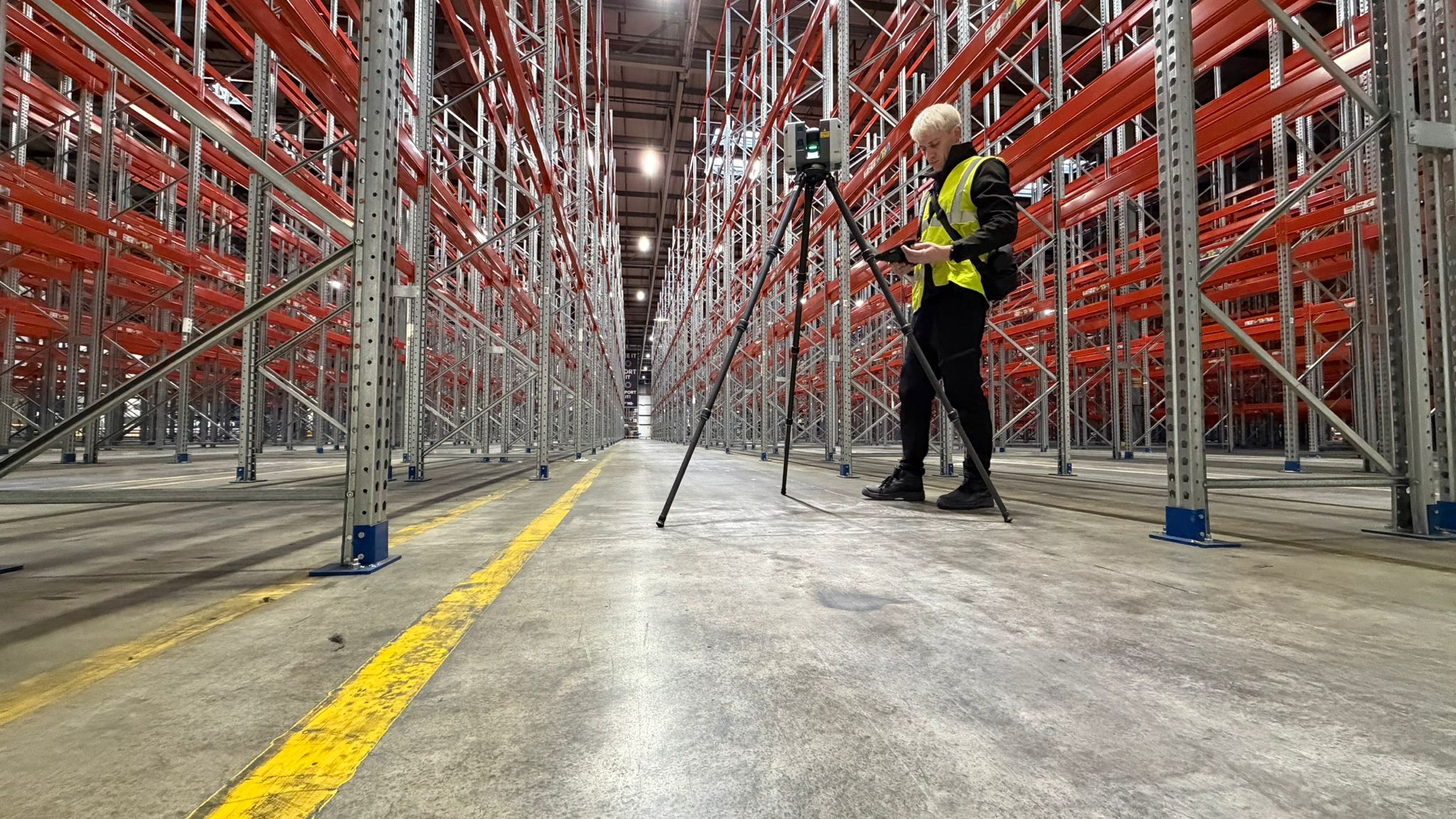
The most effective way to protect your planning timeline is to ensure your drawings are based on verified, high-quality survey data from the outset.
This means:
Accuracy at the beginning prevents complications later.

Small measurement errors can have disproportionate consequences in the planning process. Treating survey accuracy as a priority, not an afterthought, helps keep your project moving forward without unnecessary interruptions.At Scene3D, we provide precise, reliable survey and 3D data capture services that give architects and developers confidence in their drawings. By delivering accurate geometry from the start, we help reduce planning risk, avoid costly revisions, and keep your project on schedule by contacting us today!