Address
Studio 03
SUM Studios
1 Hartley Street
Sheffield
S2 3AQ
[email protected]
0114 399 1023
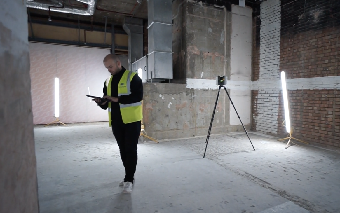
Floor plans and elevations are essential tools in architecture, interior design, and real estate. They provide a straightforward way to visualise layouts, spaces, and dimensions. Traditionally, these plans require manual measurements and drafting, which can be a time-consuming process. At Scene3D, we use 3D scanning equipment to create accurate floor plans and elevations quickly, making the process seamless for architects, designers, businesses and homeowners.

A 3D scan captures every detail of a property using high-resolution laser technology. These scans record precise spatial data. Using this information, our team can deliver accurate CAD Drawings from the measured surveys.
This approach eliminates the guesswork, reduces the need for multiple site visits, and ensures that even the most minor details are thoroughly documented.


A 3D scan gives residential properties precise, reality-captured measurements, reducing design errors, speeding up renovations, and providing complete confidence for planning, extensions, and layout changes.
Architects and builders gain reliable elevation drawings and measurements directly from scans, streamlining renovation or extension projects.

Designers can plan furniture layouts and design elements with confidence, knowing the measurements are exact.
At Scene3D, we don’t just 3D scan spaces, we transform them into practical tools. Our team ensures every plan is accurate, professional, and delivered on time. Whether you’re an estate agent, architect, or homeowner, we provide the details you need to make informed decisions.
Creating floor plans and elevations from 3D tour data is more than a convenience, it’s a more innovative, faster, and more reliable way to work. By combining cutting-edge technology with practical applications, Scene3D enables businesses and individuals to save time, reduce costs, and enhance accuracy.Ready to transform your space data into actionable plans? Contact Scene3D today and let’s bring your property to life.