Address
Studio 03
SUM Studios
1 Hartley Street
Sheffield
S2 3AQ
[email protected]
0114 399 1023

Accurate as-built data capture
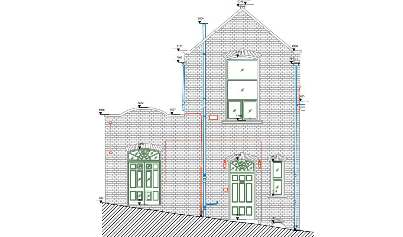
A point cloud survey gives you accurate, real-world geometry – essential when:
“We needed accurate site data to plan a retrofit – the scan saved us weeks.”
It’s the fastest and most reliable way to capture real-world conditions before starting any kind of design, planning, or coordination work.
CAPTURING EVERY DETAIL – HIGH-ACCURACY LASER SCANNING
We use 3D laser scanners to capture millions of data points with mm-level accuracy.
Commonly Captured Elements:
This high-fidelity data can be used across a wide range of applications, from architectural planning to manufacturing and digital modelling.
