Address
Studio 03
SUM Studios
1 Hartley Street
Sheffield
S2 3AQ
[email protected]
0114 399 1023
Accurate as-built data capture
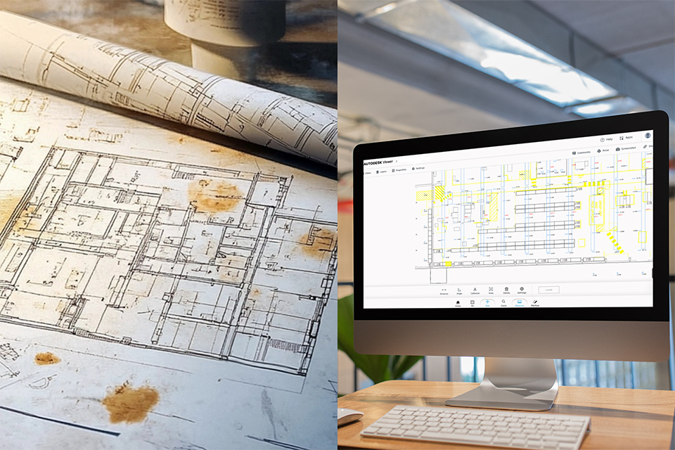
Most retrofit or development projects lack accurate plans – or the only files available are outdated and unusable.
“There are no existing drawings to work from.”
“The only plans we have are outdated PDFs with no dimensions.”
“We lost days going back to site just to double-check measurements.”
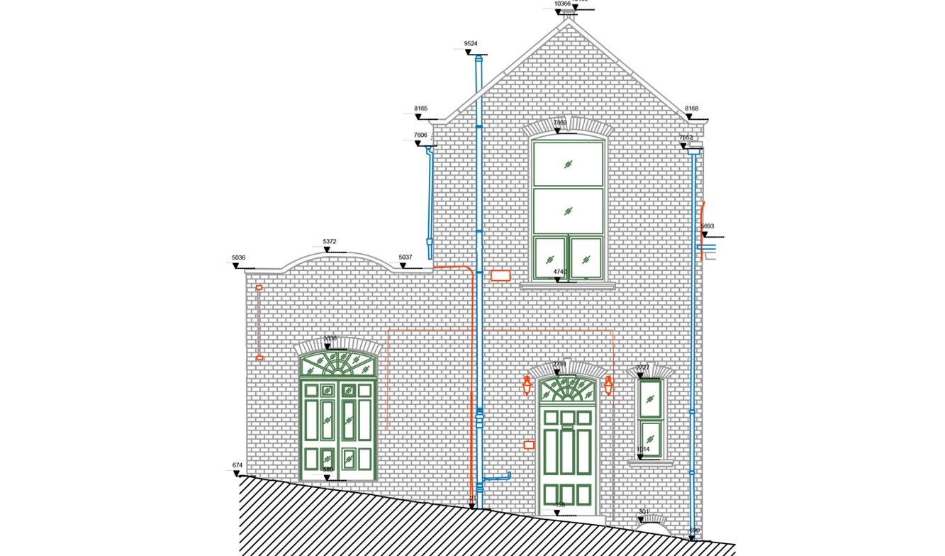
We help you avoid these common frustrations by turning your building into clean, measured CAD drawings you can trust – all produced from a high-accuracy point cloud survey.
A high standard, effective and efficient measured survey
We capture your building in detail using 3D laser scanning technology and convert the resulting point cloud into accurate CAD outputs to suit your needs – including:
All delivered in DWG and PDF formats – ready for planning applications or early-stage design.
Compatible with AutoCAD, Revit, and all major design platforms.

